A Geologic Excursion Through the Sierra Foothills Metamorphic Belt Along the Historic Amador Central Railroad
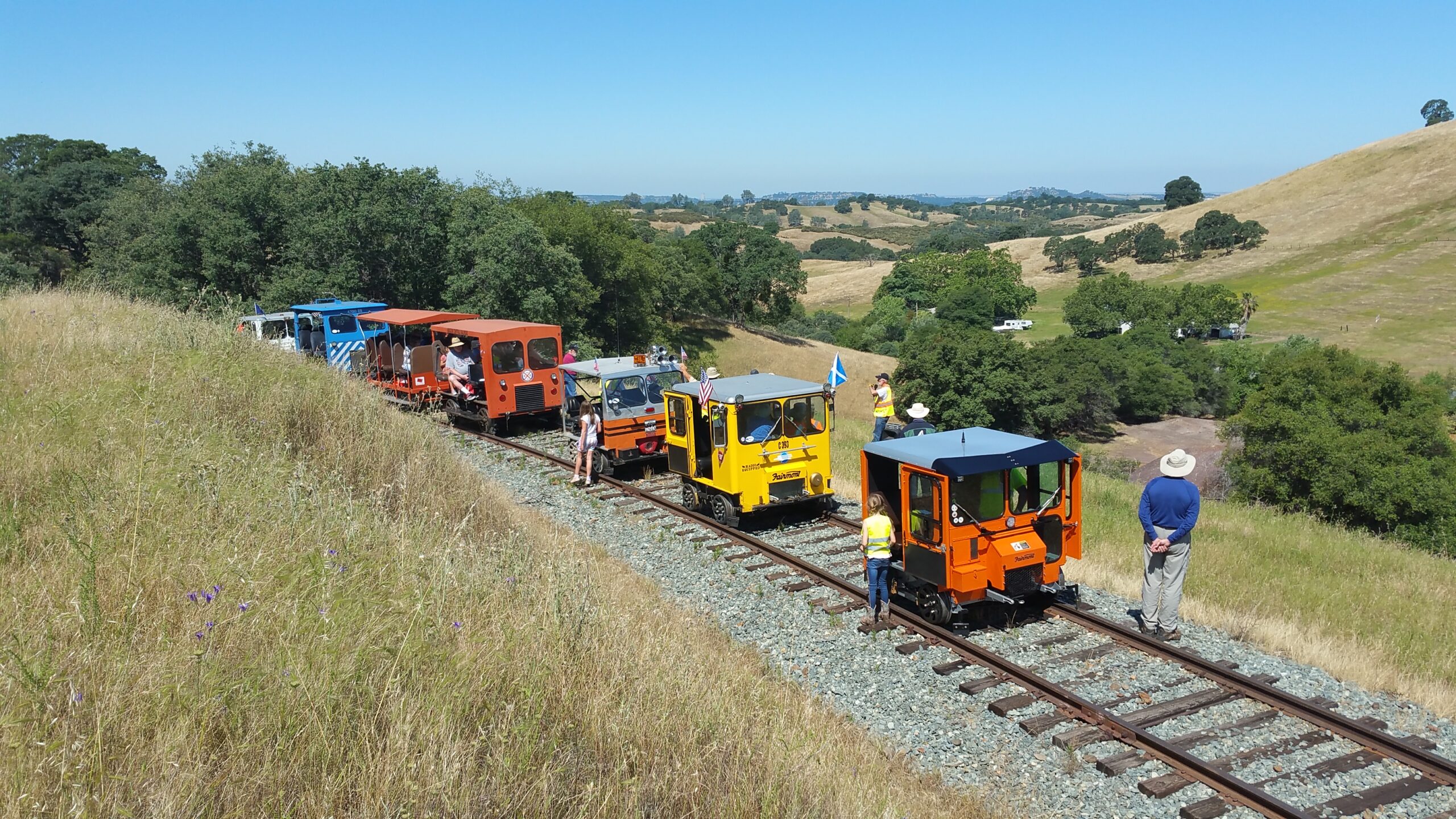
This fieldtrip views the geology of the Sierra Nevada foothills metamorphic belt and the overlying Tertiary fluvial sediments along the historic Amador Central Railroad tracks. The attendees of the trip are transported by way of vintage track inspection cars also known as track speeders or motorcars. The 10 mile historic railroad route winds through the foothills of Amador County between the towns of Ione and Martell near Jackson.
Since 2014, the California Geological Survey has been conducting detailed geologic mapping efforts in Amador and Calaveras Counties producing preliminary geologic maps for updated 7.5’ quadrangles. This railroad trip traverses portions of two maps—the Preliminary Geologic Map of the Ione Quadrangle (2015) and the Preliminary Geologic Map of the Jackson Quadrangle (2019). The geologic map produced for this fieldtrip on the Amador Central Railroad is a composite of portions of these two CGS maps (see link below).
This fun fieldtrip is designed to appeal to people with diverse experience with geological sciences from professionals as well as educators and laypeople. It is offered to geological society conferences, education institutions or individuals.
For other information about the Amador Central Railroad’s rail trips and activities see their website https://amcrr.org/
Guidebook to the fieldtrip (ver 5.6)
Geologic Map to the fieldtrip (geoPDF). Can be uploaded into mapping apps such as Avenza. Full size is 11×17.